The many faces of snowstorms
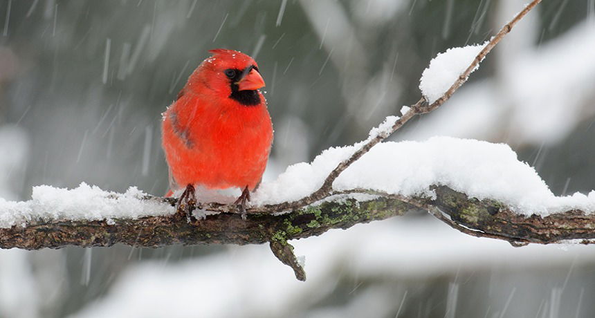
ost people love a good snowstorm. After all, what’s better than a day off from school or work to sip warm cocoa as you wait for a chance to later explore the imminent winter wonderland? But just as no two snowflakes are alike, neither are any two snowstorms.
Many conditions give rise to snow. How and where they develop can make the difference between whether they drop a quiet dusting or the proverbial Snowmageddon.
Consider a late January 2016 storm that hit the U.S. East Coast from the mid-Atlantic states up to New England. In and around the nation’s capital, Washington, D.C., it dropped some 61 centimeters (24 inches) to more than 102 centimeters (40 inches). The storm also blanketed many New Jersey cities with 76.2 centimeters (30 inches) or so.
All snowstorms require the same ingredients: cold air, moisture and an unstable atmosphere. But winter air tends to be dry. It usually stores little moisture, the main ingredient in snow. That’s why living near a body of water — such as a lake, river or the ocean — can boost the chances that some regions will regularly get blanketed with mountains of flakes.
And while most snowstorms are relatively quiet, there are the occasional boomers. Scientists refer to these as thundersnows. Rare conditions can cause static electricity to build up within snow clouds and nearby structures. If a discharge occurs, the lightning can trigger a rumbling thunderclap.
The role of moisture
In some cases, one town might be buried beneath snow while the next neighborhood over remains dry. This often happens where the source of moisture for a winter storm is very localized — such as a lake. No surprise, such storms deliver what is known as lake-effect snow.
As winter approaches, chilly air can blow over water that still is fairly warm. This often occurs in November and December at sites where northern states border the U.S. Great Lakes. As streams of cold air flow in, lake water can heat up pockets of air near the surface. That air rises to form clouds. The phenomenon is similar to why you see your breath on cold days. The air you exhale is relatively warm and humid, so it briefly forms a cloud.
Eventually this air will cool, allowing its moisture to condense. Suddenly, flakes can begin to fly fast and heavy — and not let up for hours, days or even a week.

Lake-effect snow can dump 30 centimeters (one foot) or more of snow in less than a day. But the big totals tend to be quite localized. One area may see a lot, and a town just a short distance away may see few flakes.
PaaschPhotography/iStockphoto
For maximum snow, the wind has to be just right. If it blows lengthwise along the lake, it ups how long a cloud can build, sopping up moisture. Once that cloud moves inland, it loses its fuel source (the lake’s water) and disintegrates. That’s why the affected communities may lie no more than 24 kilometers (15 miles) from a lake’s shore. Areas farther inland might see no more than a few flurries.
Compared to the monster winter storms that can spin up off the U.S. East Coast, bands of lake-effect snow tend to be quite small. Most are the size of a typical summer thunderstorm — only 10 to 20 kilometers (6.2 to 12.4 miles) across.
But lake-effect storms can be intense, dropping up to 15 centimeters (6 inches) of snow per hour. If the clouds tower high enough, thunder and lightning may develop. This thundersnow can be quite common in parts of upper New York, along the edges of Lakes Erie and Ontario. Once in a while, these tall wintertime clouds even drop small hail amidst the snow and thunder. Usually, the hail stones are smaller than the size of a pea.
Lake-effect snows, there, have racked up mind-boggling totals. From November 17 to 19 in 2014, a persistent lake-effect snowstorm settled over the southern suburbs of Buffalo, N.Y. It dropped 1.52 meters (5 feet) of snow. This storm led to 13 deaths, not to mention hundreds of collapsed roofs. The National Weather Service described the prolonged storm as one that just “didn’t budge.”
Equally impressive was how localized the precipitation was by November 18, midway through the storm. “The wall of snow was still quite apparent with blue skies to the north and zero visibility on the other side,” reported the National Weather Service office in Buffalo. “[T]here were only a few inches on the ground at Genessee Street, but several feet of snow . . . less than two miles [3.2 kilometers] south